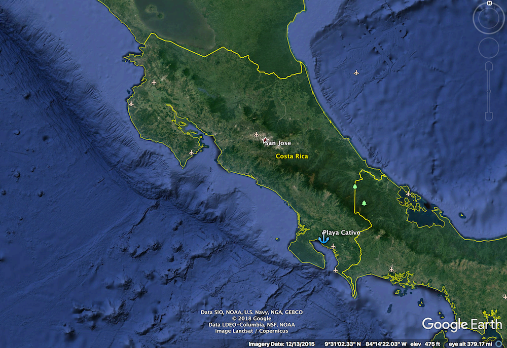
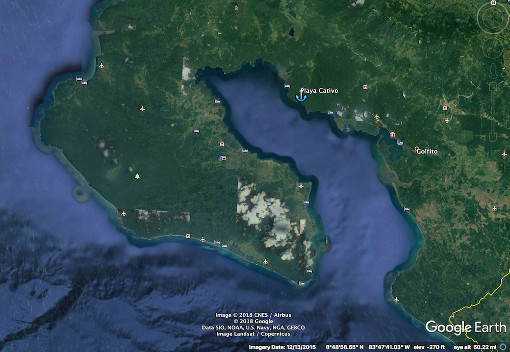
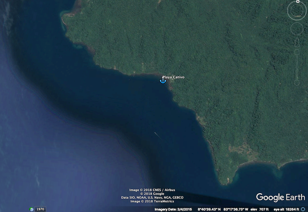
Playa Cativo
We anchored at 08 40.301N 83 18.434W
15ft of water
SUMMARY
Fuel - No
Cell Service - Yes Weak signal once you go on shore.
Wifi - Via the resort.
Dingy Landing - Yes. Easy
Garbage - No
Potable Water - No but it rains a lot so it is easy to collect.
Showers - No
Laundry - No
Groceries- No
ATM - No
Water Taxi - No
Cell Service - Yes Weak signal once you go on shore.
Wifi - Via the resort.
Dingy Landing - Yes. Easy
Garbage - No
Potable Water - No but it rains a lot so it is easy to collect.
Showers - No
Laundry - No
Groceries- No
ATM - No
Water Taxi - No
Playa Cativo
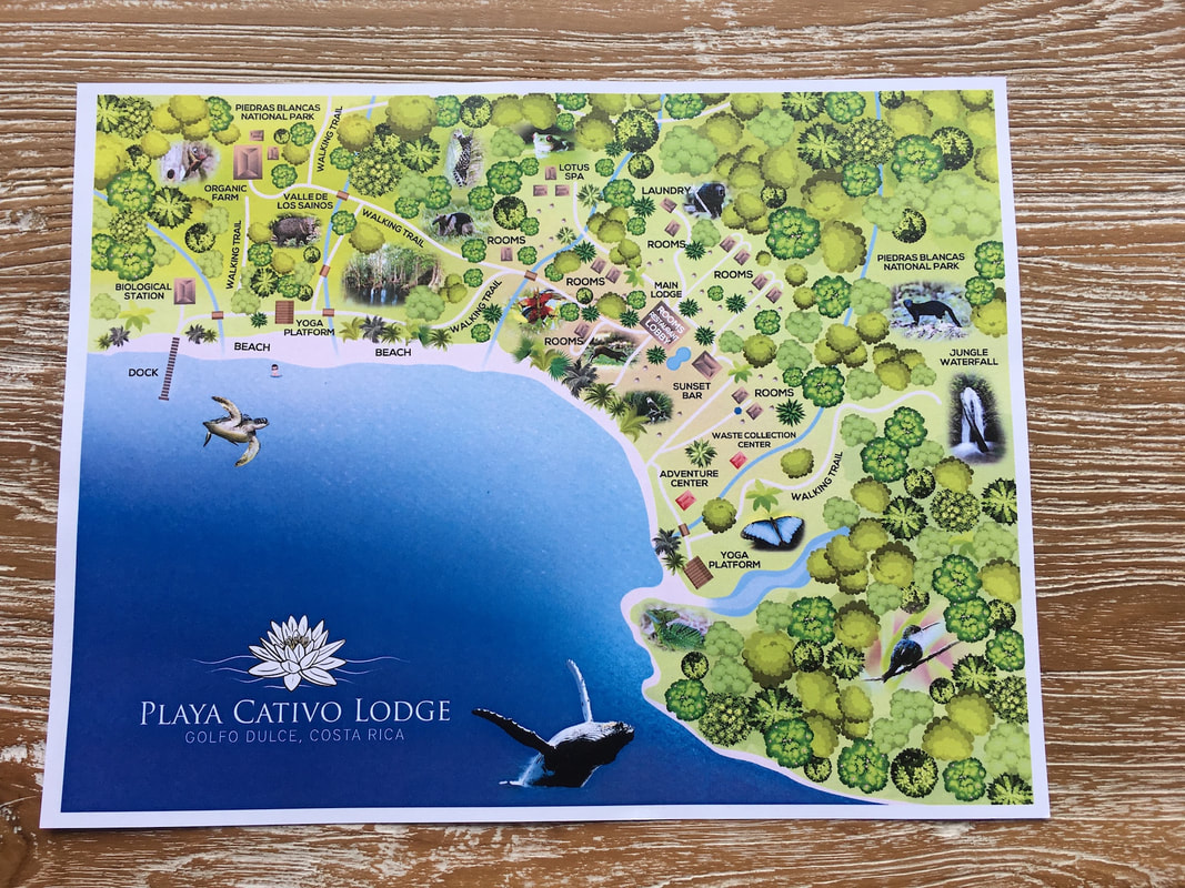
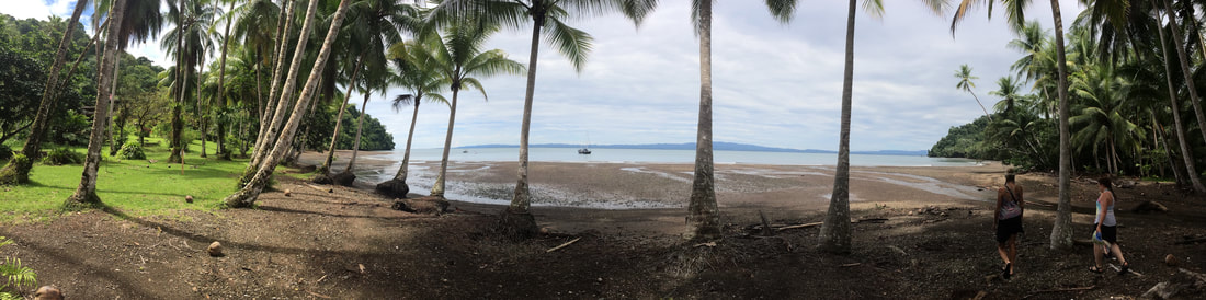
This is a super cute anchorage with a high-end resort on the beach. The people at the resort are very friendly and are happy to have you come ashore for drinks or a meal. Food and drink are not cheap but at least they are quite tasty.
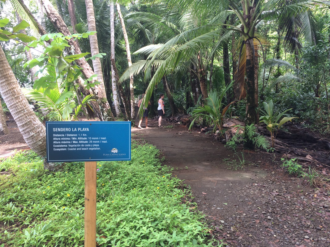
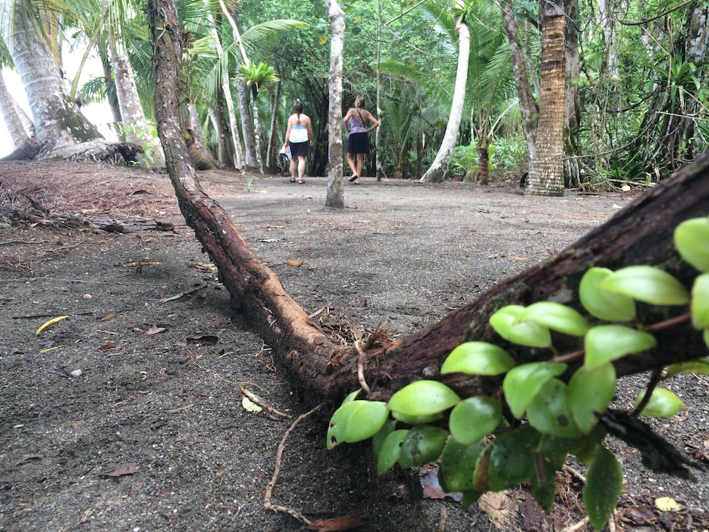
There are a few walking trails here as well. We did the walk along the trail that parallels the beach. This one starts at the resort. Then you walk towards the pier visible to the west then up to the organic farm where food is grown for the resort. After that you can loop back on a second trail that is inland a bit or return to the beach for the walk back.
For other things to do there's snorkeling on a reef 1.2 miles to the south and easy access to the OSA Wildlife Sanctuary to the north.
Anchoring
Anchor Depth – 20ft
Like other places in the Golfo Dulce you are anchoring on a small shelf close to a fast drop-off. We dropped our anchor outside the resort boat moorings with shorter scope than usual so that we wouldn’t swing into the mooring balls. (The weather here is so mellow we felt fine with this). Even with a limited swing the water under the boat varied wildly from 20ft to over 40ft depending on which way were were swinging.....
Water temp and Clarity
Clarity was all over the show. It was as low as 5ft and as much as 25ft depending on wind, rain and tides.
Dinghy Landing
We had pretty easy dingy landing through almost no surf. You can land almost anywhere. Obviously it’s best not to leave your dingy where the resort drops off or picks up their guests.
Remember that high tide goes all the way up to the trees so be sure to bring your dinghy as high up as possible. We also made sure we were securely tied up so that even if the water floated the dinghy it wouldn't float away..
The beach is rocky not sandy.
Remember that high tide goes all the way up to the trees so be sure to bring your dinghy as high up as possible. We also made sure we were securely tied up so that even if the water floated the dinghy it wouldn't float away..
The beach is rocky not sandy.
Garbage
There is nowhere to get rid of garbage here. The resort is self-contained and cannot handle any outside garbage.
Groceries
No
THINGS To Do

Trails
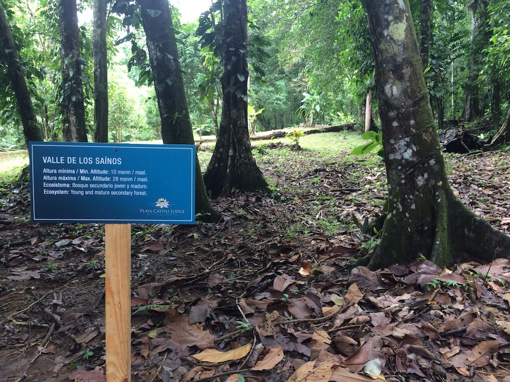
There are two self guided walking trails here. One on the east side to a waterfall and one to the west side along the beach.
Since it had been raining a lot recently we decided to take the flatter trail along the beach. This leads you to the Biological Station and the Organic Farm.
There are two self guided walking trails here. One on the east side to a waterfall and one to the west side along the beach.
Since it had been raining a lot recently we decided to take the flatter trail along the beach. This leads you to the Biological Station and the Organic Farm.
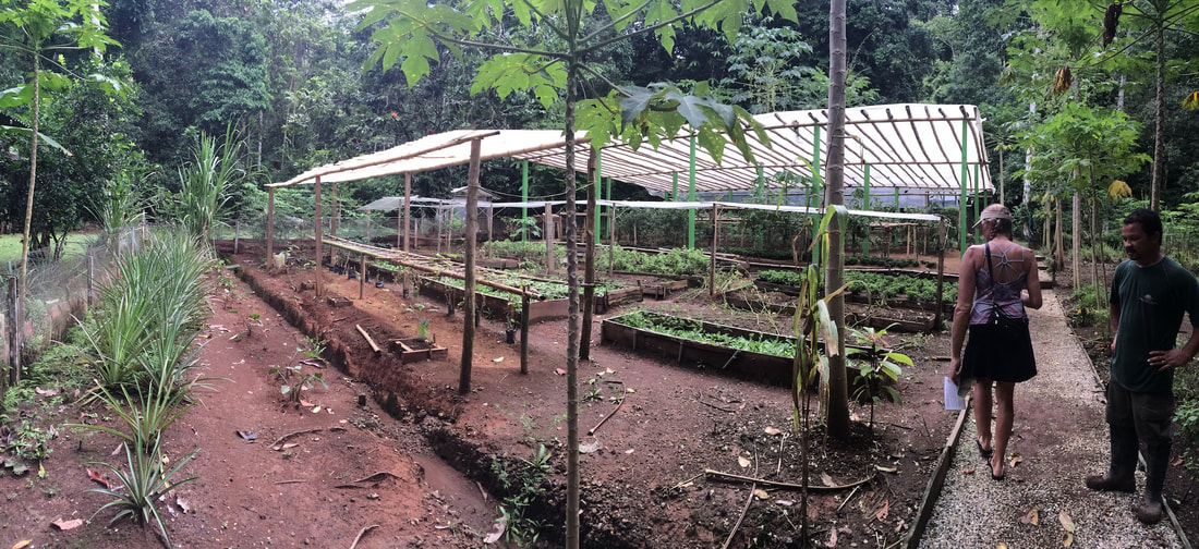
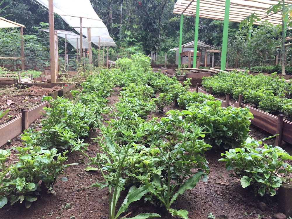
The organic farm was fairly impressive. This is where they grow all the fruit and vegetables for the resort. The staff tending the garden were very friendly and happy to give us a tour and answer questions.

There wasn't anything going on at the "Biological Station" so we just walked out to the end of the pier and took a few pictures.
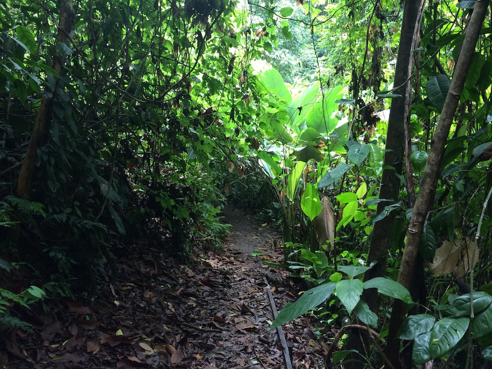
On the way home we took the inland trail back from the farm area. This one isn't as well marked and the trail just and of drifted off in a few places. It wasn't that hard to find it again but you might want to be comfortable with your trail finding skills if you head this way. It was still a nice way to make the trail a loop rather than an out and back.
On the way home we took the inland trail back from the farm area. This one isn't as well marked and the trail just and of drifted off in a few places. It wasn't that hard to find it again but you might want to be comfortable with your trail finding skills if you head this way. It was still a nice way to make the trail a loop rather than an out and back.
Snorkeling Reef
The reef near the end of Punta Adela to the south is a good reason to get in the water. It may be small but it's a quick dinghy trip and a nice way to see some coral and small reef fish.
08 39.3029 N
83 17.7597 W
There is sand and mud to anchor the dingy close to shore.
The reef is about 10-15ft down at high tide. Visibility is best at high slack tide and is also better once you swim down 5 or 6 ft past all the surface stuff. The coral isn’t very colorful but there is enough of it to hide Moray eels and other good stuff.
Resort
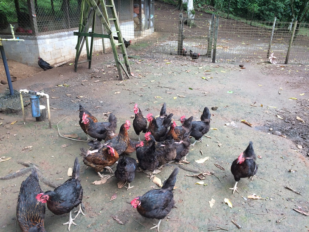
With a high end resort on shore there are a lot of other activities available here if you are happy to pay to join an organized tour. Inquire with the staff to see what is going on at that time.
With a high end resort on shore there are a lot of other activities available here if you are happy to pay to join an organized tour. Inquire with the staff to see what is going on at that time.
ANNOYANCES
There are a lot of sticks and logs in the water.
|
|
Download our Google Earth KAP files for use in OpenCPN. | ||
|
Download our gpx track to approach this area
| ||