Isla Otoque North - October 2018
We anchored at N W
17ft of water
SUMMARY
Fuel - No
Cell Service - No
Wifi - No
Dingy Landing - Easy - Rocky
Garbage - No
Potable Water - No
Showers - No
Laundry - No
Groceries- No
ATM - No
Water Taxi - No
Cell Service - No
Wifi - No
Dingy Landing - Easy - Rocky
Garbage - No
Potable Water - No
Showers - No
Laundry - No
Groceries- No
ATM - No
Water Taxi - No
Isla Otoque - North
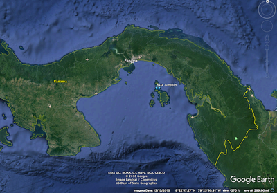
In the rainy season this anchorage provides an intermediate point between Marina Vista Mar and the city. This can be useful if you are trying to sail and a contrary current and the lack of wind conspire against you. The north winds in December to March may make this anchorage unusable...
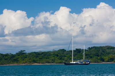
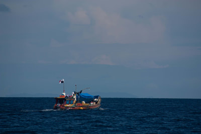
The anchorage was quite calm when we were there even with brisk winds right around the corner. We watched the local fisherman paddle by each day in their one man canoes to fish of the North point.
There is also no cell service.
The anchorage was quite calm when we were there even with brisk winds right around the corner. We watched the local fisherman paddle by each day in their one man canoes to fish of the North point.
There is also no cell service.
Anchoring
Approach
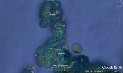
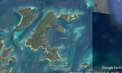
The approach is a passage through two guarding reefs. There are rocky reefs to the north and south of the entrance channel. You should note that the reefs are covered at high tide.
You can either approach carefully at low tide when you can see the hazards or follow waypoints and watch your depth. We chose to enter at low tide and still follow the waypoints.
Overall we came in initially from the NE and then the East through the pass. The lowest depth we saw was 10ft at low tide.
We followed waypoints initially determined by SV Jacaranda for the approach and passage.
WP01 08 30.2817 N 079 00.6800 W - Approach Waypoint
WP02 08 30.2842 N 079 00.9991 W - Through the reefs
Anchor Depth – 14ft
Once inside the protection of the reefs the area that is 10ft deep or more is huge. We took soundings with the dinghy and it is a very shallow slope until you are close to shore. The bottom seems to be all sandy mud with excellent holding.
Water temp and Clarity
Water temp was 82 and the clarity was only 5 or 10ft.
I think that the sediment in the bottom gets stirred up and doesn't have any place to go..
Prevailing Wind and Swell - October
It was rainy season and we saw wind mostly from southerly directions.
The anchorage has good protection from most sides except at high tide where it has some exposure to the Northeast. The swell is generally from the south west to south east.
Dinghy Landing
Lots of easy landings on rocky shores.
Things to Do
There is a small town just on the other side of Isla Ampon that might be good for a little adventure. We didn't go there but it is reported to have a small store.
ANNOYANCES
We only stopped overnight and found it quite pleasant. :-)
A quick 360 view of the anchorage.
Download our Google Earth KAP files for use in OpenCPN.
Download our gpx track to approach this area
OTHER ANCHORAGE GUIDES
Copyright © 2016
