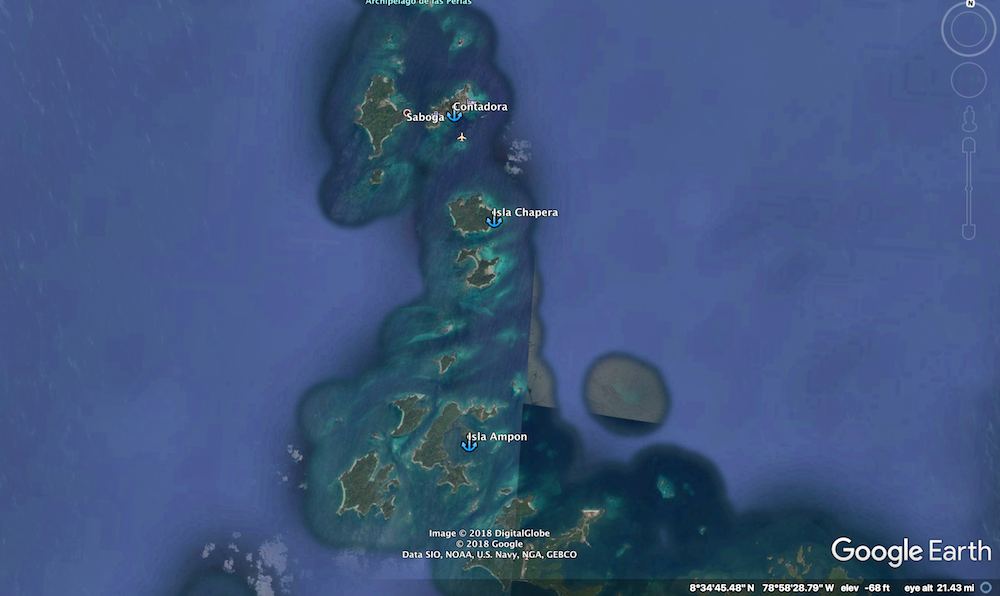
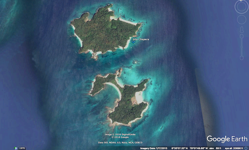
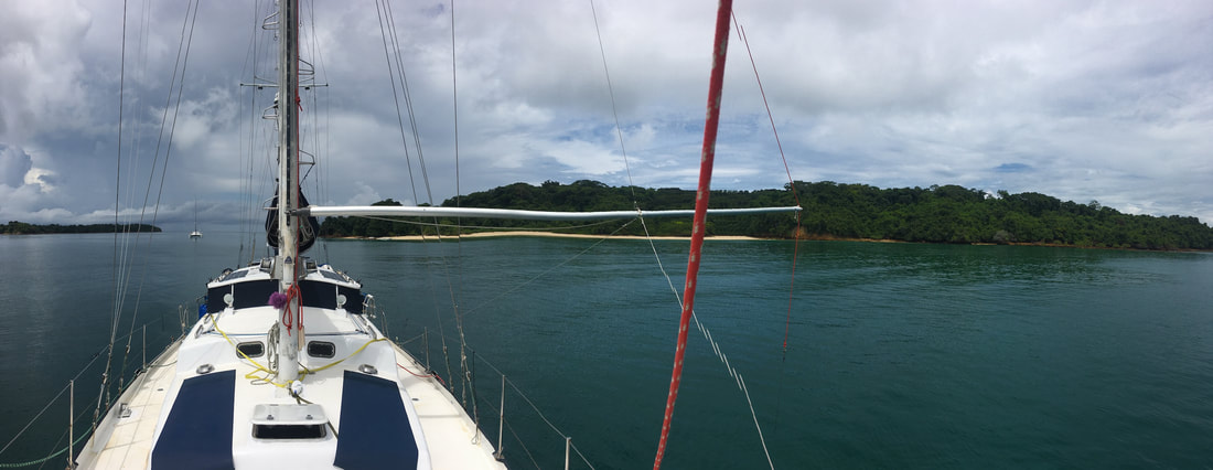
Isla Chapera / Mogo Mogo
We anchored at 08 35.072 N 079 01.179 W
17ft of water

SUMMARY
Fuel - No
Cell Service - No
Wifi - No
Dingy Landing - Yes - Easy
Garbage - No
Potable Water - No
Showers - No
Laundry - No
Groceries- No
ATM - No
Water Taxi - No
Cell Service - No
Wifi - No
Dingy Landing - Yes - Easy
Garbage - No
Potable Water - No
Showers - No
Laundry - No
Groceries- No
ATM - No
Water Taxi - No
Isla Chapera South - October 2018
We enjoyed our time at the anchorage here. It does get busy on the weekend but all those boats are usually gone by 4pm. We had the best water clarity we have had on the Pacific side of Central America and we even saw whales most days. The beach is a nice and its just a nice overall experience.
Anchoring
Approach
We came in from the East for an easy approach. There are hazards in the channel towards Mogo Mogo but they are well charted and easy to avoid.
Anchor Depth – 17ft
Anchoring is easy as long as you don’t try to get really close to shore. Somewhere around 15ft depth you start to see some rocks in different areas. We didn’t see any once it got a little deeper. Remember that there is tidal current here.
Water temp and Clarity
Water temp was 83 deg when we arrived at the end of September. Clarity was about 20 to over 60ft in the anchorage. Nice to see the anchor chain in the sand and all the fish swimming under the boat.
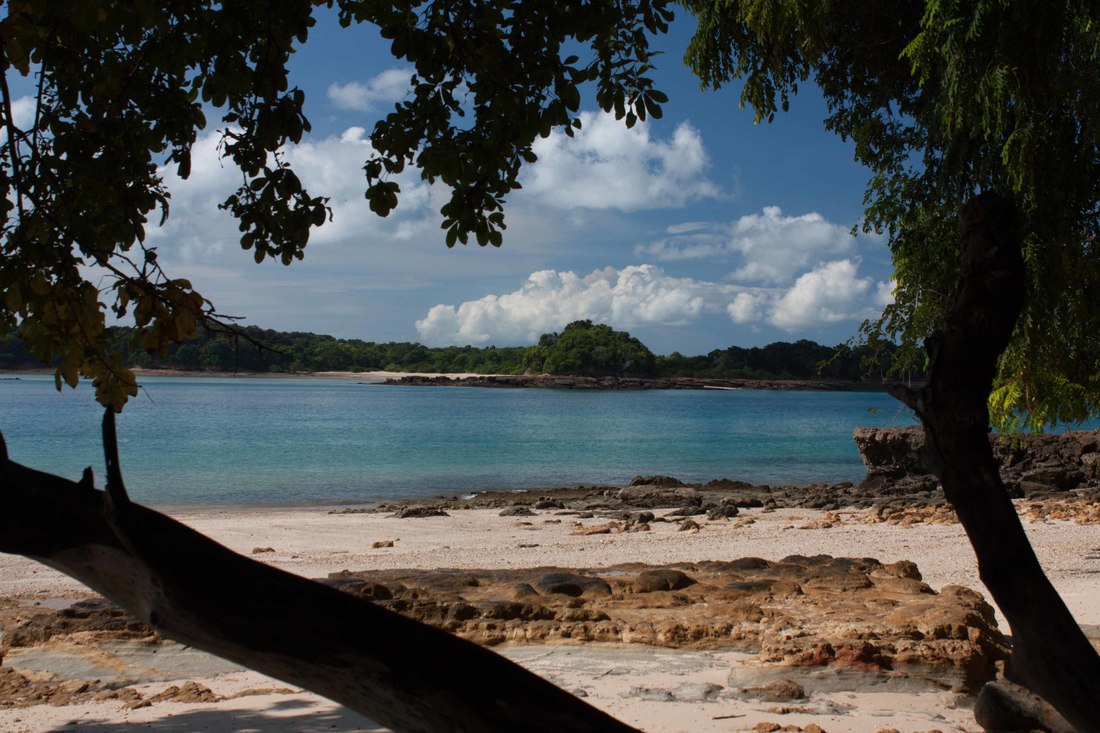
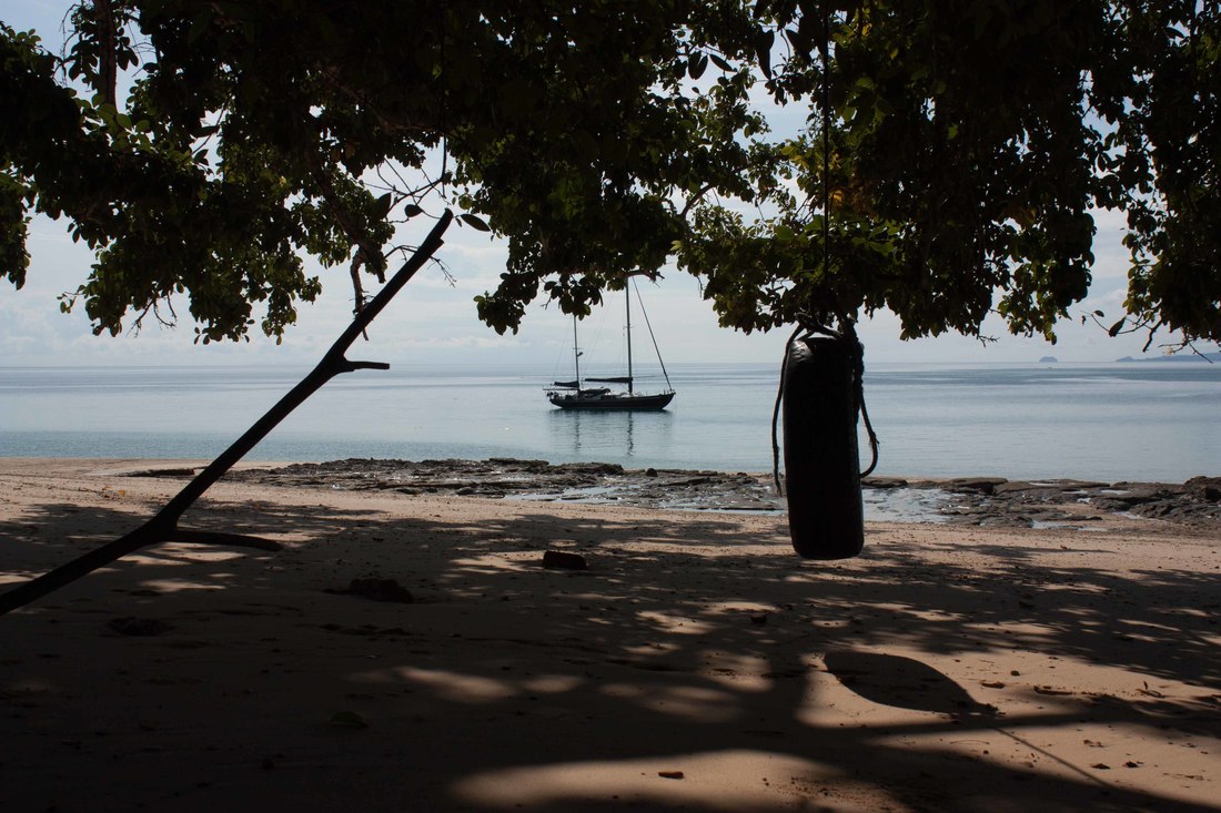
Dinghy Landing
Easy landing on the beaches although remember that the beach almost disappears at high tide.
Things to Do
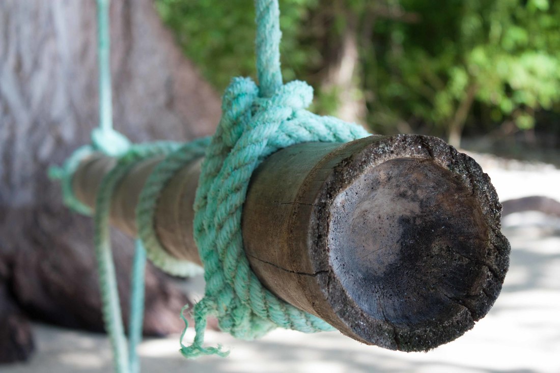
The beach is a nice place for a picnic. There are also a few swings hanging in the shade.
There is decent snorkeling off the various points. The coral was pretty bland but there was a good variety of fish and we even swam with a turtle for a little bit.
There is decent snorkeling off the various points. The coral was pretty bland but there was a good variety of fish and we even swam with a turtle for a little bit.
ANNOYANCES
We did have one day with jellyfish in the water. It seemed to be an isolated occurance.
Tidal current keeps the boat at odd angles to wind and swell. A little rolly at certain tides but fine with a flopper stopper
Tidal current keeps the boat at odd angles to wind and swell. A little rolly at certain tides but fine with a flopper stopper
A quick 360 view of the anchorage.
|
Download our Google Earth KAP files for use in OpenCPN. | ||
|
Download our gpx track to approach this area
| ||